
Beginning at Narkanda’s apple orchards and ending in Spiti Valley’s austere, beautiful settings
Reaching a destination is the goal of certain voyages. Some are about testing my limits in terms of distance travelled, comfort level with uncertainty, and time spent alone.
It was a mix of the two on my nine-day trek in Himachal Pradesh.
Every day provided a new landscape, a new challenge, and a new reason to pause, whether it was the twisting mountain roads of Shimla and Narkanda, the secluded settlements of Kinnaur, or the spectacular, high-altitude desert of Spiti Valley.
I journeyed alone, but being alone never made me feel lonely. The mountains seemed to be having conversations of their own, the roads seemed to have stories of their own, and the ever-changing scenery served as a continuous reminder that the most memorable travel experiences frequently start where familiarity ends.
Every day, I document my journey here.
—
Arrival in Narkanda from Chandigarh on Day 1
The approximate route is via Kufri and Shimla. 2,185 kilometres
The process of climbing
Chandigarh: 1,150 feet or 350 meters
2,276 meters (7,467 feet) in Shimla
– Kufri: 2,510 meters (8,235 feet)
Narkanda: 2,708 meters (8,885 feet)
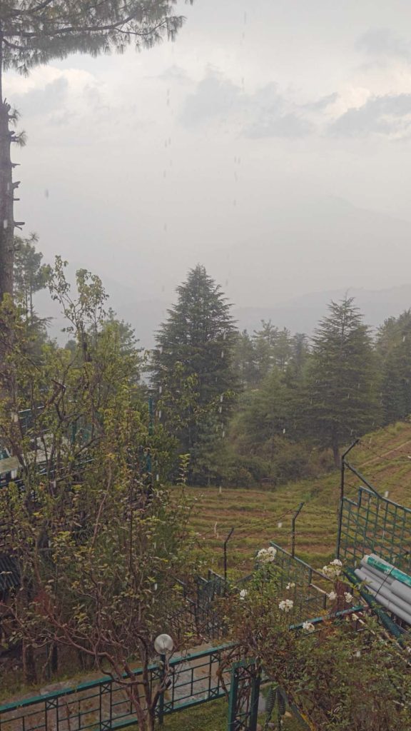
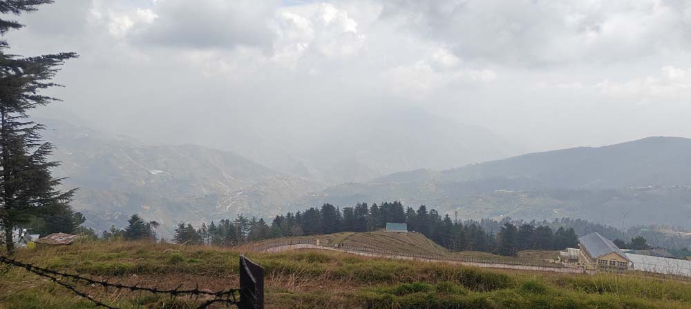
My adventure started in Chandigarh, and as I ascended the Himalayan highways, I found myself progressively escaping the plains and entering a world both familiar and exotic.
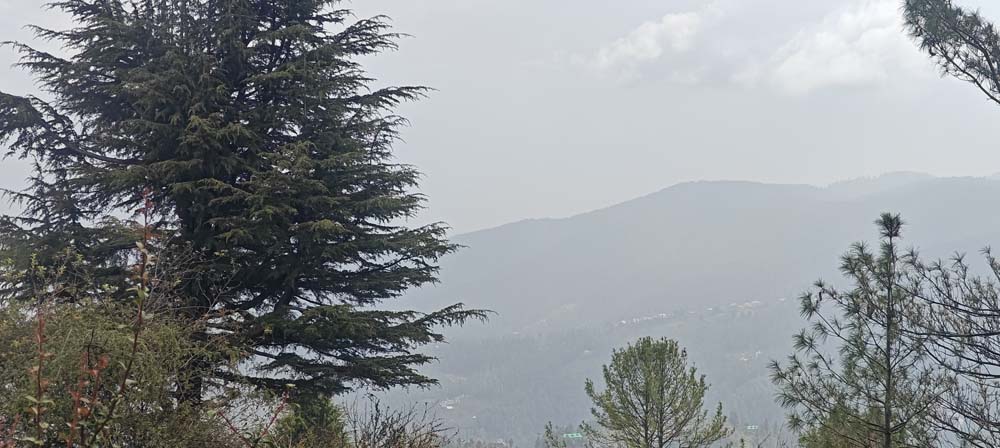
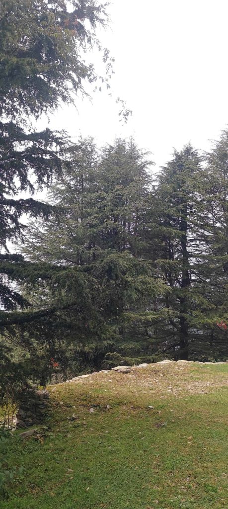
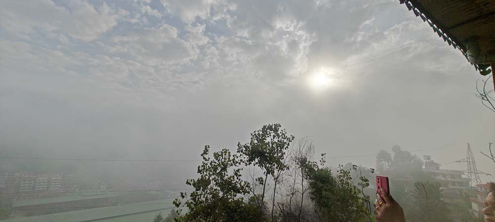
As I ascended into Shimla, I noticed the first tell-tale indicators that I was escaping the mundane: cooler air, slopes covered in pine trees, and so on. Observing the scenery transform at each turn, I pressed on through Kufri in my quest for Narkanda.
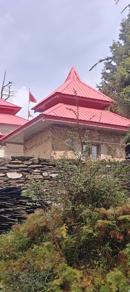
A more peaceful introduction to the Himalayas than the hustle and bustle of Shimla could be had at Narkanda, which is encircled by apple-growing mountains.
The setting couldn’t have been more idyllic for the start of a trek that would lead me more into the mountains and away from civilisation.
What I learned from my journey: I started to progressively gain altitude, which was helpful for the steeper terrain that lay ahead. In preparation for the more isolated days ahead, I also checked that my phone, GPS, and other travel necessities were in good working order.
—
2: Travelling from Narkanda to Chitkul and Sangla
Via Rampur, Karcham and Rakcham | Approx. 130–140 kilometres
The process of climbing
1,020 m (3,350 ft) – Rampur
– Sangla: 2,680 meters (8,790 feet)
– 3,140 m / 10,300 ft-Rakcham
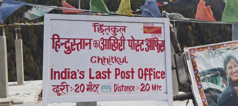
3.450 m (or 11,320 ft) is Chitkul.
As I continued down the route, I followed the ever-changing Sutlej River into Kinnaur and eventually reached the Baspa Valley.
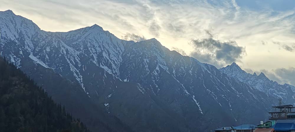
The path became more isolated, the valleys more spectacular, and the mountains more intimidating. Chitkul is a settlement that seems to float on the brink of the inhabited world; I made my way there via Rakcham and Sangla.
Chitkul was worth the trip only for the scenery—rough mountains, wide skies, and the river valley. Both the final destination and the route there were stunning.
With the impression of having stepped into a new Himalayan realm, I made my way back to Sangla for the night.
One thing I learned on my travels is that distances in mountains can be misleading. Narrow roads, tight curves, roadworks and picture stops can make even a 200 km travel take up most of a day. Highway speeds are not something I would ever consider when planning this section.
—
Route from Sangla to Nako on Day 3
the Kinnaur countryside and the Karcham route | approx. about 180 to 210 kilometres distance
The process of climbing
Reckong Peo: 2,290 m / 7,510 ft
3,662 meters (12,010 feet) is Nako.
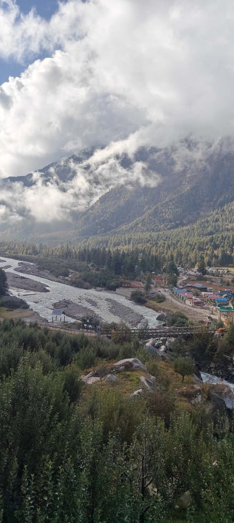
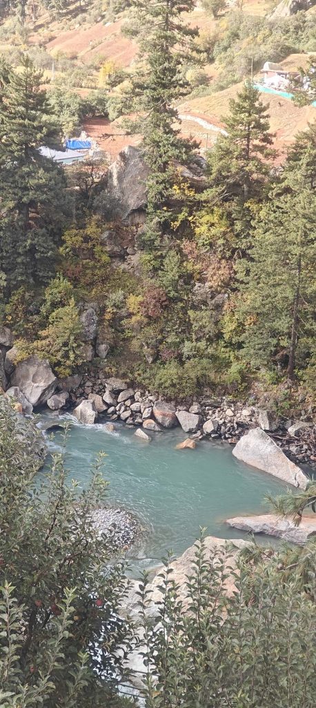
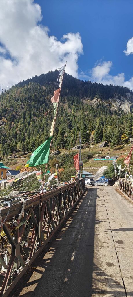
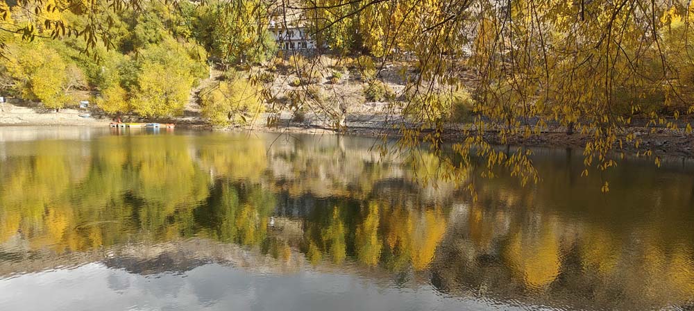
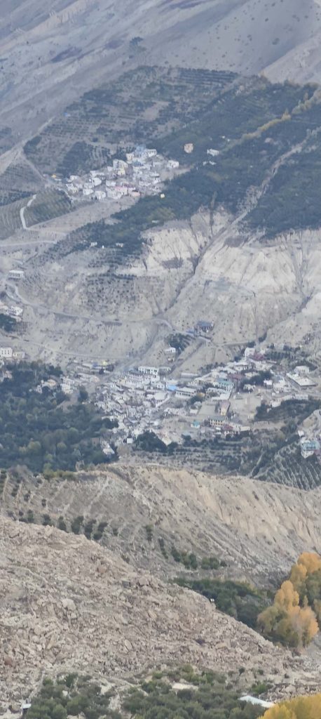
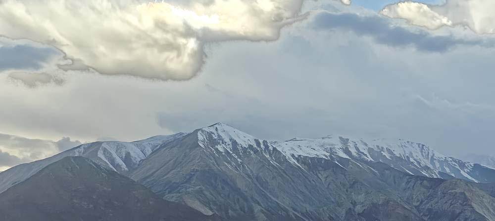
On this day, a remarkable transformation took place in the countryside.
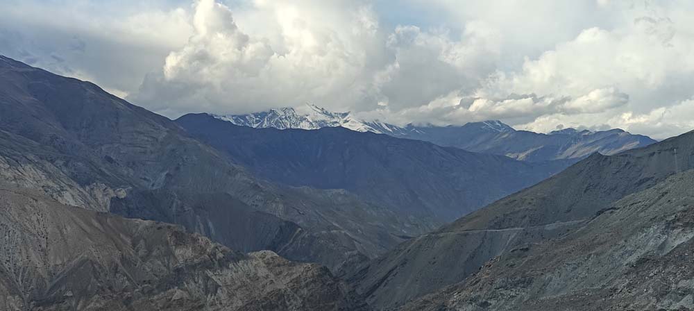
As time went on, the Kinnaur valleys became rockier and less verdant. As the vegetation diminished and the mountains took on a more desolate appearance, the formerly familiar perception of the Himalayan environment started to shift.
I was headed for Nako, a little town perched high above a bizarre, otherworldly terrain.
With an elevation of almost 12,000 feet, the altitude became more than just a geographical feature. Weather, hydration, physical activity, and acclimatisation were all factors that I needed to keep in mind as I ventured into this new environment.
Nako presented another form of beauty—one that was sparser, less aesthetically pleasing, but profoundly entrancing in its tranquillity.
What I learned from my trip: I made an effort to keep the evening low-key. Pay close attention to symptoms like headaches, nausea, unusual weariness, or dizziness, and avoid vigorous activities at high altitude. Make sure to drink water regularly.
—
On Day 4, you will go on a morning trek in Nako and continue on to Kaza.
Via Tabo | Approx. The road trip is 110–120 km, not including the morning walk.
The process of climbing
3,662 meters (12,010 feet) is Nako.
– Limit: 3,280 meters (10,760 feet)
About 3,650 meters (or 11,975 feet) is Kaza.
First thing in the morning, I went for a stroll and walk around Nako, taking in my surroundings before setting out on my voyage.
Taking a pre-dawn stroll in the mountains adds a unique touch to any driving day. The vastness of the scenery, the lack of human interference, and the relative calm of the air all make me want to stop and take it all in, rather than just go from place to place.
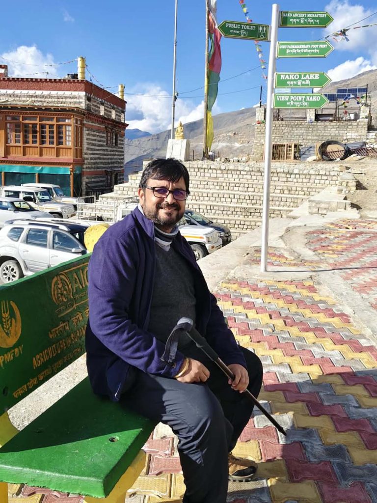
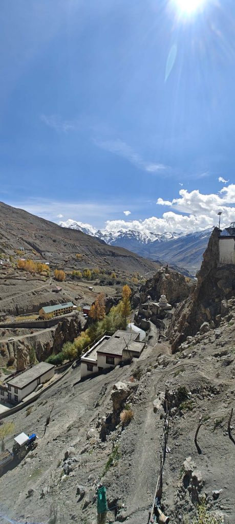
In the future, I made my way to Tabo, a significant cultural site in Spiti known for its historic monastery. Afterward, I made my way to Kaza, the main town and an ideal starting point for exploring the surrounding area.
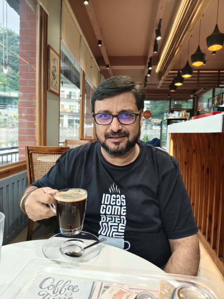
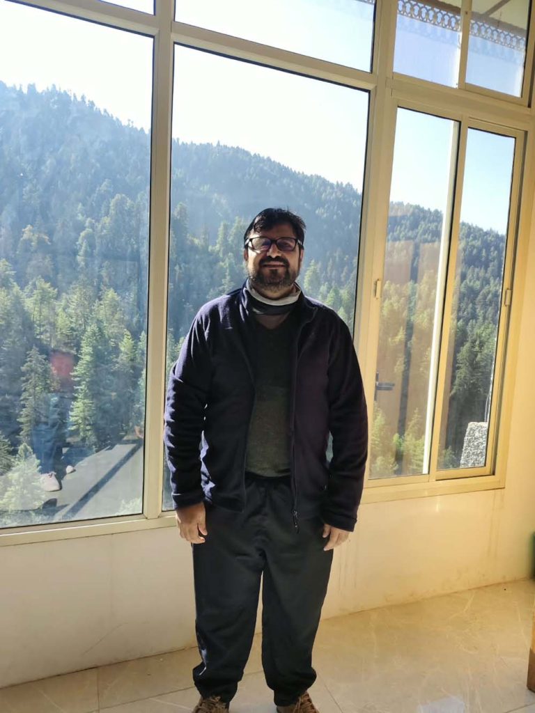
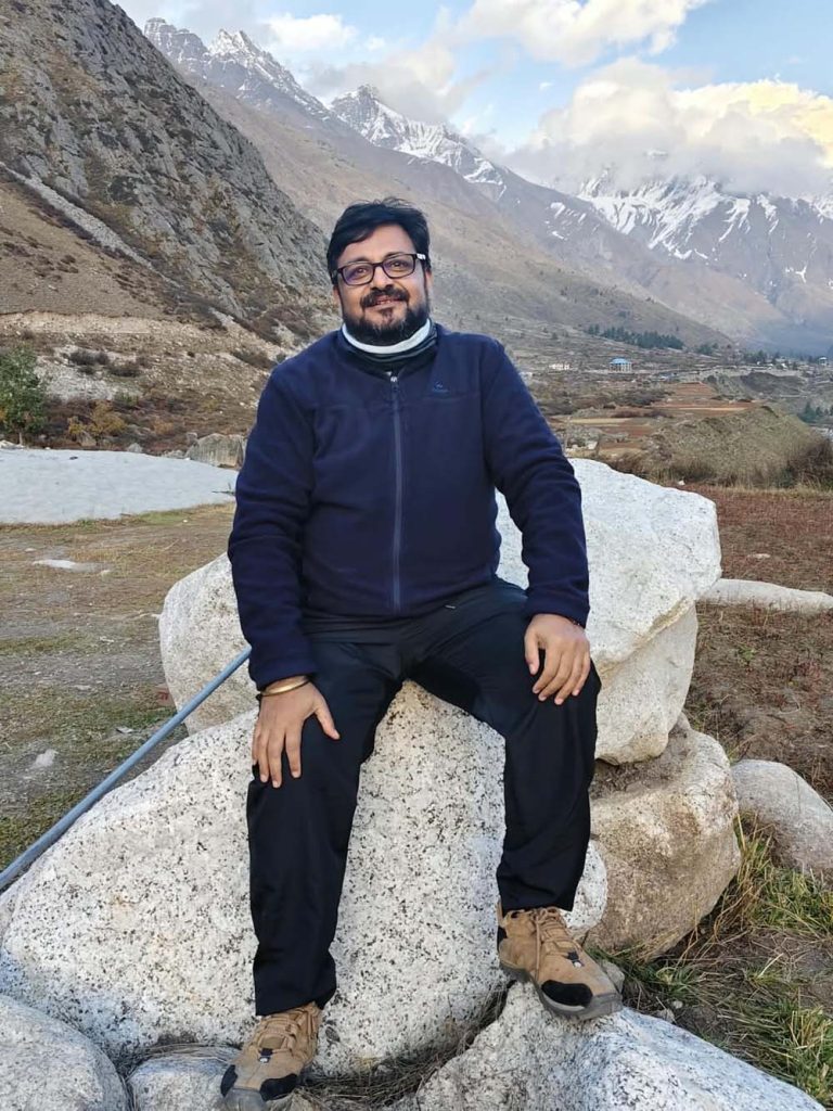
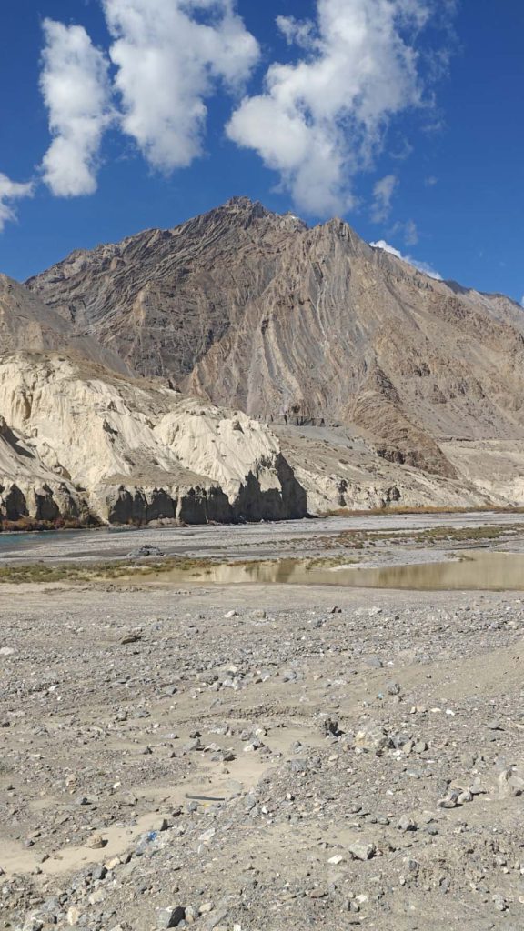
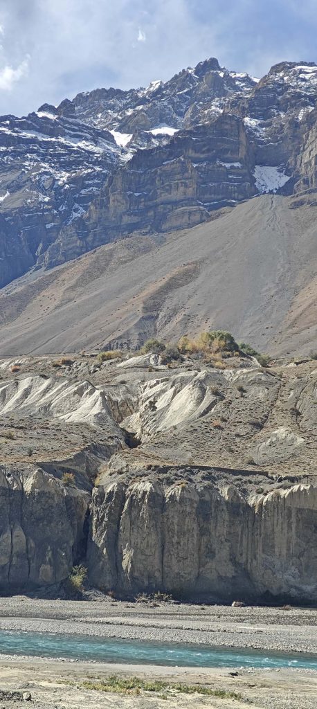
The trip had progressed far beyond the verdant Himachal that most people envision by the time I arrived at Kaza. I had entered the frigid, high-altitude Spiti desert, where the mountains are more shaped by the elements than by forests.
As a traveller, I’ve learned that it’s better to have warm clothes on hand than buried in a bag. Even a sunny afternoon is no assurance of a pleasant evening; temperatures can fall rapidly, particularly after sunset.
—
On Day 5, we visit the High Himalayas with Langza and Komic.
Travel the Langza-Komic region on a day before heading back to Kaza
The process of climbing
About 3,650 meters (or 11,975 feet) is Kaza.
– Langza: about 4,400 meters (14,435 feet)
About 4,500 to 4,570 meters (14,765 to 15,000 feet) in Komic
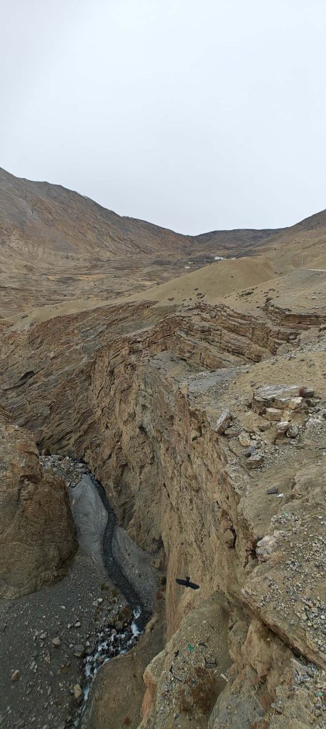
We spent the day climbing up into the Langza and Komic mountain ranges.
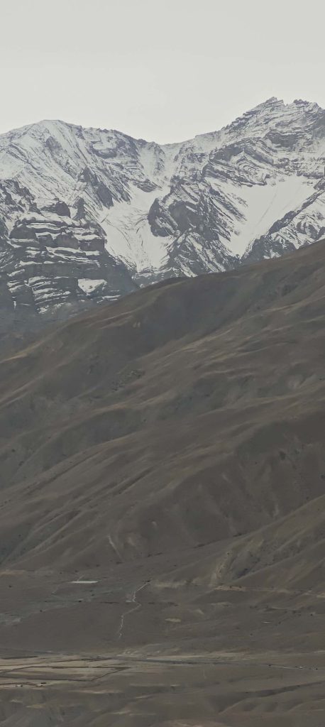
The sheer magnitude of the mountains is nearly bewildering at these altitudes. The air is thin, the villages look little against the massive slopes, and even a simple ascent can be more difficult than anticipated.
Both Langza and Komic encapsulate what it is to be Spiti: secluded villages, breathtaking mountain landscapes, and a general distancing from contemporary life.
I was able to get a closer look at this scenery on foot than I would have been able to from a car. The height necessitated reverence, but each halt provided a fresh viewpoint.
With the sense of accomplishment that comes from working for something, I made my way back to Kaza after a long day of exploring.
My travel lesson: When I’m at an altitude of 14,000 to 15,000 feet, I walk carefully, take lots of pauses, and don’t push through symptoms of unusual exhaustion or shortness of breath. Before you set out on your journey, make sure you confirm the route and return time locally; the precise mileage depends on the trail you choose.
—
On Day 6, we continue our foot journey to Key Monastery and Kibber.
Return to Kaza after a full day of trekking via the Key Monastery-Kibber region.
The process of climbing
– Principal Abbey: about 4,116 m / 13,504 ft
around 4,200-4,330 meters, or 13,780-14,205 feet, is Kibber.
About 3,650 meters (or 11,975 feet) is Kaza.
While the previous day gave me my first taste of Spiti’s high-altitude environment, today I got to see yet another one of its signature vistas.
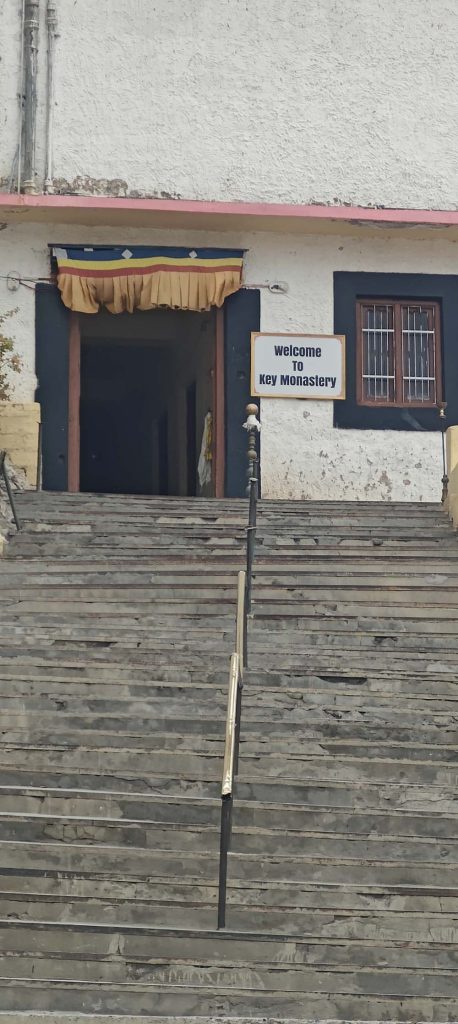
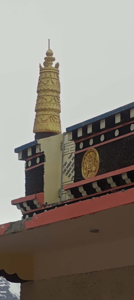
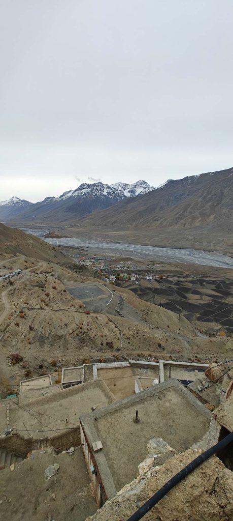
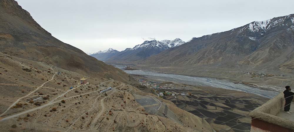
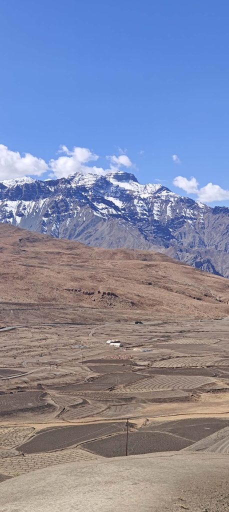
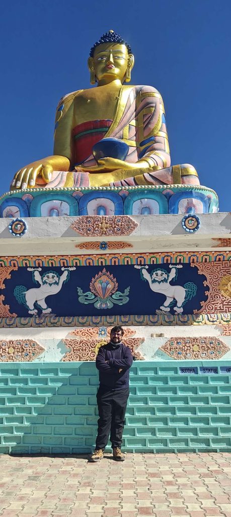
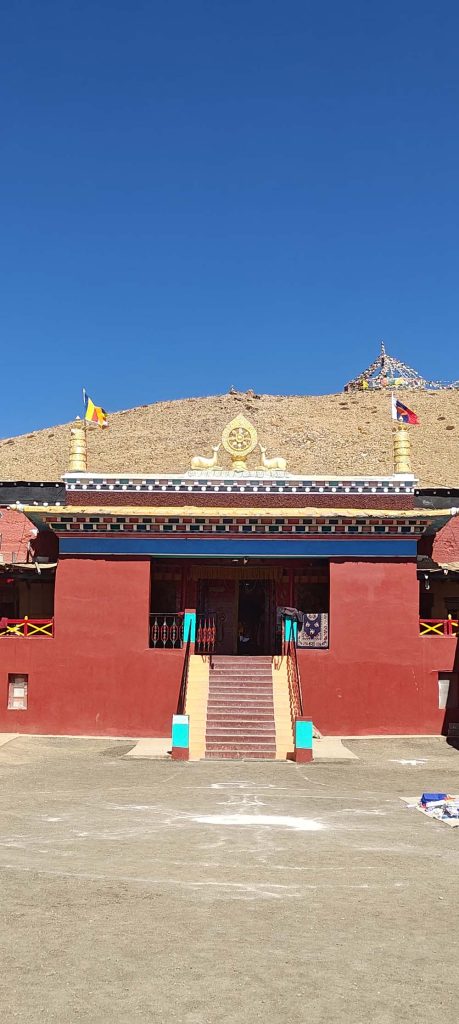
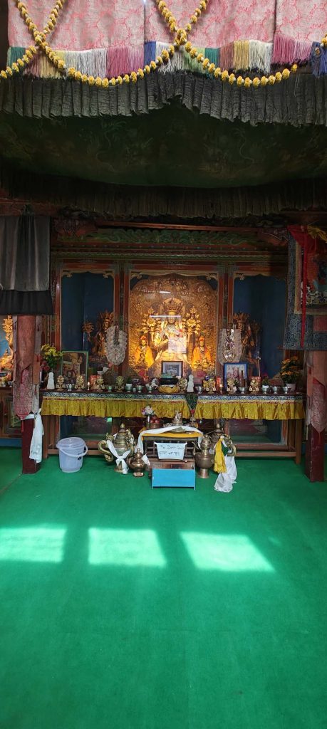
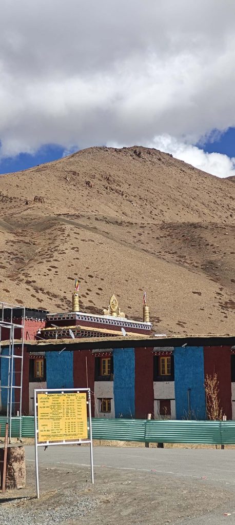
Standing tall above the valley, Key Monastery is a famous landmark in the area. The location emphasises the interplay between the Spiti people, their religious practices, and the breathtaking landscape they call home.
As you make your way toward Kibber, you’ll be greeted by expansive vistas, rugged mountains, and an otherworldly feeling of space.
Going on a day walk in this area turned the excursion into more than just a car trip. I was actively engaging with the terrain by moving about, exerting myself, and watching rather than just cataloguing locations.
After another exhausting day in the outdoors, returning to Kaza gave the familiarity of a home base.
Two days of hiking at high altitude necessitate cautious pace, as I learned on my travels. In my opinion, being physically fit is not enough to stave against altitude sickness. Severe symptoms necessitate rapid descent and immediate aid; if symptoms intensify, I would cease ascending and consult a medical professional.
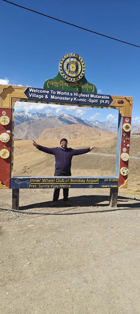
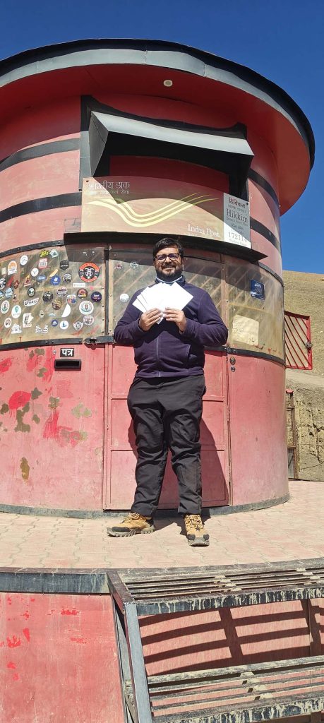
—
7. Kaza travels to Gue, Reckong Peo, and Kalpa.
Approx. 210-230 kilometres
The process of climbing
About 3,200 meters (10,500 feet) in height is Gue.
– Reckong Peo: about 2,290 meters (7,510 feet)
About 2,960 meters (9,710 feet) is Kalpa.
The return journey needed to be started, but the mountains still had more adventures to give.
I made my way to Gue, a hamlet famous for its historic monastery and its remarkably preserved mummy. I then proceeded in the direction of Kalpa and Reckong Peo.
As one descended from the lofty heights of Spiti, one could see the landscape changing dramatically. The journey brought me back to the verdant and populated landscapes of Kinnaur, even if the mountains were still intimidating.
Kalpa was the perfect place for a leisurely evening stroll and a brief stroll. It was a chance to relax and soak in the sights after a few days of strenuous high-altitude exploration.
My travel lesson: The long mountain drive requires a cushion in the timetable. The entire day’s schedule is susceptible to changes in road conditions, which might cause departure delays or unanticipated road closures.
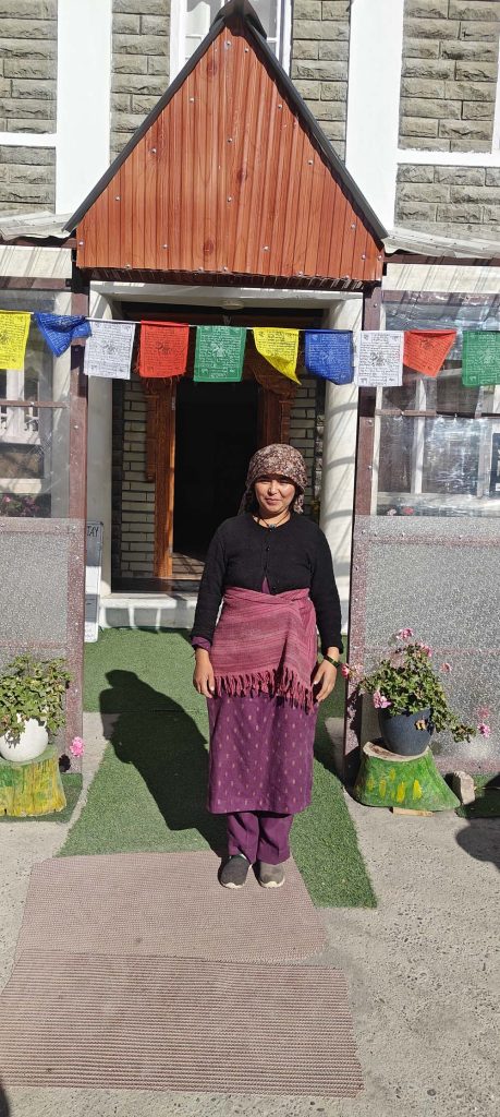
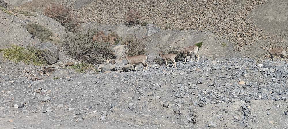
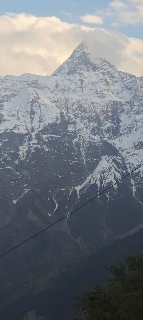
—
Travel from Kalpa to Shimla on Day 8
Route: about via Reckong Peo, Rampur, and Narkanda. 210-230 kilometres
The process of climbing
About 2,960 meters (9,710 feet) is Kalpa.
– Rampur: about 1,020 meters (3,350 feet)
About 2,708 meters (8,885 feet) is Narkanda.
2,276 meters (7,467 feet) in Shimla
Again, on the way back to Shimla, I got a better look at how diverse Himachal Pradesh is.
Starting in the harsh terrain of Kinnaur, the voyage continued via the verdant mountain country of Narkanda and Shimla, passing through a variety of elevations and sceneries.
After exploring Spiti, I realised that going back was more than just following my original path. Looking back at the same valleys and roads through the lens of what had transpired in the days before made them feel very different.
The most inaccessible portion of my journey seemed to be behind me when I arrived at Shimla, but the experience was far from over.
My travel lesson: Get a head start, take frequent rests, and, if at all possible, avoid driving on unfamiliar mountain roads after dark. You should exercise the same level of care on the last leg of a long travel as you did on the beginning.
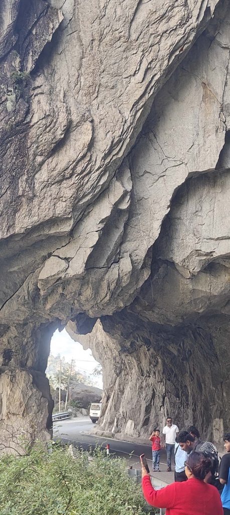
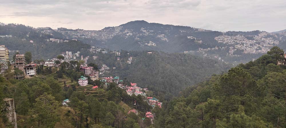
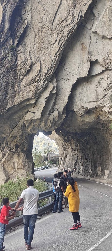
—
Day 9: Visit Shimla, the Pinjore Gardens, and the Chandigarh Airport
Approx. 120-140 km, plus time to visit the garden
The process of climbing
2,276 meters (7,467 feet) in Shimla
About 365 meters (1,200 feet) is Pinjore.
– About 350 meters, or 1,150 feet, from Chandigarh Airport
As I descended from the slopes into the plains on my last day, my adventure came full circle.
After exploring the historic garden complex at Pinjore Gardens on my way from Shimla to Chandigarh Airport for my night-time flight, I continued on to my destination.
The journey was appropriately concluded. Following days of desolate mountain scenery, mountain towns, and meandering roads, the gardens presented a new type of beauty—one that was ordered, nurtured, and moulded by humans.
Even though I left my travel memories at the airport, they did not limit themselves to the locations I had been. The roads that connected them, the varied elevations, the lengthy periods of travel, and the challenge of navigating for nine days alone were all part of them.
Because I was travelling alone, I could do things at my own pace, spend time wherever I pleased, and enjoy the mountains without worrying about anyone else’s opinions.
That, I think, was a vital component of the trip.
—
TRUE GUIDELINES FOR ANYONE DESIGNS THIS ADVENTURE
Travelling via Kinnaur and Spiti isn’t your typical vacation route, even if the Himalayas are stunning. It is extremely important to be well-prepared when travelling alone.
1. Be prepared for every kind of weather, not just what’s predicted.
At elevations above 14,000 feet, there is a significant temperature difference between the lower valleys and the villages. The sunshine in October is still not always reliable.
My planned item is:
– A down jacket: ideal for chilly mornings, nights, and long days spent outside.
Fleece jackets: A multipurpose base layer for hiking and unpredictable weather.
Particularly helpful on chilly evenings and for getting a head start in the morning: a thermal base layer.
– Weather gear: A high-quality poncho, waterproof trousers or a raincoat. Rapid weather changes mean that rain gear is important even in the absence of an official rain forecast.
– An outer layer that cannot be blown away by wind: Winds in the mountains may make even mild temperatures feel much cooler.
– Huggies, a wool hat, and cosy mitts.
Trekking shoes that are both comfortable and have high traction should be broken in before the journey.
– Lip balm, sunglasses, and sunscreen: Even in cold weather, high-altitude sunshine can be powerful.
Be sure to wear multiple layers of clothing. Adding or removing a fleece is more convenient than realising midway through a hike that my only jacket is inadequate.
2. Bring along a fully charged portable charger
You should not take it for granted that there will always be places to plug in your device.
When I go somewhere without access to electricity, I make sure to have a sturdy, high-capacity power bank to charge my phone and other electronics. Additionally, a vehicle charger is a wise investment.
In particular, when the phone is trying to find a spotty signal, using offline maps, directions, photos, and emergency calls can rapidly drain the battery.
Low temperatures can diminish battery performance, thus it’s important to keep the power bank warm and away from extremely cold environments. To make sure you can bring a power bank on board, research the airline’s policies beforehand.
Thirdly, 3. Before you go, download the maps to use offline.
In more distant parts of Kinnaur and Spiti, mobile coverage may be spotty at best.
If I were planning this journey ahead of time, I would make sure to download all of the route maps, save the information for my accommodations, and make sure to have all of my vital contact numbers on hand in case I lost internet connectivity.
I would also be sure to have digital copies of any necessary travel documents on hand, in addition to a physical form of identification.
Offline navigation is more than just convenient; it’s a lifesaver for solo travellers.
4. Be mindful of the height
The itinerary ascends to an altitude of about 4,500-4,570 meters, or 14,765-15,000 feet.
Even the healthiest, most energetic visitor might become sick at the high altitude. Staying fit won’t make you completely risk-free.
Among my safety measures would be:
– Gradually climbing as the route permits.
During acclimatisation, it is important to keep vigorous exercise to a minimum.
– Getting enough water and food on a regular basis.
When acclimating, stay away from sedatives and alcohol.
– Keeping an eye out for symptoms like nausea, vertigo, odd lethargy, or lack of hunger.
I will make sure to consult a doctor before my trip if I have any health issues or if I take any medications regularly.
I wouldn’t just ignore or try to live with symptoms if they appeared. Severe symptoms, such as shortness of breath even when at rest, disorientation, or trouble walking straight, necessitate immediate medical attention and a reduction in elevation.
5. Coordinate mountain drives with sunrise
Geographical distances alone do not provide sufficient context.
Driving 100 kilometres across the mountains can take much longer than anticipated due to factors such as narrow roads, abrupt twists, road works, traffic, weather, and stops.
My proposal is this:
For lengthy days of driving, get a head start.
– Don’t put all your faith in the navigation time estimates.
Make sure to check the local road conditions before setting out.
– Make sure that you have ready access to water, snacks, and warm clothes.
– Keep extra cash on hand, since internet banking does not always work in outlying places.
Do not drive on strange mountain roads in the middle of the night unless absolutely necessary.
on addition, I wouldn’t put too much stock on a mountain drive operating according to plan; instead, I’d leave some wiggle room in the timetable in case something unexpected happens.
6. Keep a little first aid kit on hand.
What I would bring on a solo trip is:
– Medication for oneself and a basic First Aid kit.
– Extra batteries for a torch or headlamp.
– Snacks that are high in energy and water.
An emergency blanket, a whistle, and a slim emergency pack.
The necessities: tissues, hand sanitiser, and basic toiletries.
– An additional charging cord and an automobile adapter.
– A sum of money in lesser amounts.
When possible, I would let a reliable individual in on my daily plans and check in whenever there was an internet connection.
6. Get ready to walk, not merely see the sites.
Even if the distance seems little, trekking around Langza, Komic, Key Monastery, or Kibber for a whole day may be quite taxing due to the altitude.
I would check the route, predicted time of walk, weather, and return plans at the local level. Also, I wouldn’t venture out on a lonely or unfamiliar path without first letting someone know where I was going and making sure I had enough food and water to last the whole planned period.
For routes with less clarity or routes affected by unpredictable weather, hiring a local guide might be a good idea.
Number eight. Preserve time for unforeseen circumstances
The most important thing to remember when travelling across mountains is that not everything needs to be meticulously prepared.
Any number of factors, including road closures, weather, slower driving, and unanticipated pauses, can affect the timeline. Whenever feasible, I would maintain some wiggle room, and I would be extra cautious with the last airport transfer.
Getting to the finish line first is not the objective. It is to make it to the end of the trip unscathed and happy.
—
The Reasons My Journey Was Based On
The journey’s high point | Rough estimate |
the following: |—|—:|
| Nine days long |
The highest points reached are approximately 4,500-4,570 meters (14,000-15,000 feet).
| Langza-Komic, the highest-altitude region |
Stops of cultural significance | Gue, Tabo, Key Monastery |
Mountain getaways in remote areas | Chitkul, Nako, Langza, Komic, Kibber |
Stop number one for sightseeing: Pinjore Gardens.
This journey will end at Chandigarh Airport.
Mapped locations may differ in elevation and distance. It is up to the paths taken that determine how far the Langza–Komic and Key Monastery–Kibber journeys really go. Local factors can potentially affect the road itinerary.
—
CONCLUSION—The Liberty of Solo Travel
I had intended for my trip to Himachal Pradesh to be only about sightseeing, but the experience provided more than that.
Being a solo traveller meant being self-reliant, adjusting to new situations, and embracing the fact that quiet reflection would accompany some of the most memorable experiences.
Landscapes that rendered human worries remarkably insignificant were interspersed with lengthy highways, mountain passes, isolated towns, and more. Preparation, patience, and reverence for the mountains were also required to overcome the practical obstacles.
The Himalayas are not a place to be rushed. Attention is rewarded by them.
Plus, while I was on my own, I could fully immerse myself in the experience by paying attention to the scenery, the road, the mountains, and everything else along the way.
In addition to the recollections of breathtaking locations, I came back with a deeper respect for self-sufficiency, the value of planning ahead, and the joy of doing things at my own speed.
Even when I’m travelling solo, there are moments when the experiences are just as fulfilling. During these times, I realise just how much I am capable of accomplishing when I am alone.